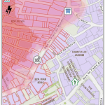
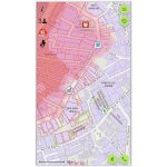
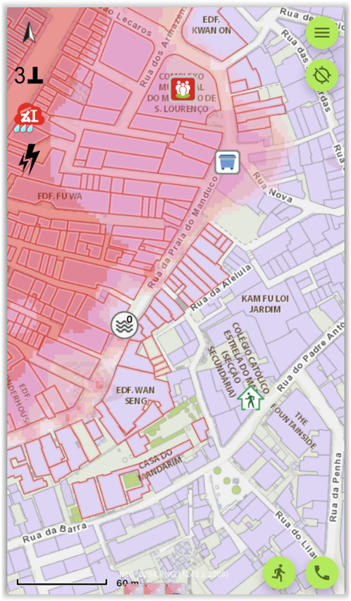
 “GeoGuide for emergency” provides emergency geographic information such as areas expected to be affected and zones may be affected by power suspension measures during all levels of storm surge
In order to let the public obtain the latest geographic information for emergency via mobile phone, Cartography and Cadastre Bureau has just launched an updated version 3.2 of “GeoGuide for emergency” mobile map App, based on the information provided by the relevant departments in early 2021.
The updated version of “GeoGuide for emergency” provides the latest important geographic information such as the areas expected to be affected during all levels of storm surge and zones may be affected by power suspension measures, “Emergency Refuge Centre” and “Meeting Place /Place to stay for emergency evacuation”, and provides the function of in advance walking route planning to the nearest emergency refuge centre to response to the public needs. When online, the APP will display the real-time severe weather warnings information and water level monitoring information provided by the Meteorological and Geophysical Bureau, and real-time maritime information provided by the Marine and Water Bureau. The App also provides various emergency information and risk/disaster prevention guidelines such as “Emergency Refuge Centre” provided by the Social Welfare Bureau, “Storm surge evacuation plan for low-lying areas during typhoon” provided by the Unitary Police Service and "Class Suspension Arrangements for Schools when a Tropical Cyclone Warning Signal, Rainstorm Warning Signal or Special Weather Statement Is Issued" provided by the Education and Youth Development Bureau.
“GeoGuide for emergency” version 3.2 provides maps for emergency in online and offline version, allowing the public to obtain the latest and useful emergency information in response to different emergency situations. “GeoGuide for emergency” can be downloaded for free by searching “GeoGuide for Emergency” either in App store or Google Play, or by scanning the QR Code below. For details, please visit Cartography and Cadastre Bureau website (https://www.dscc.gov.mo ).
