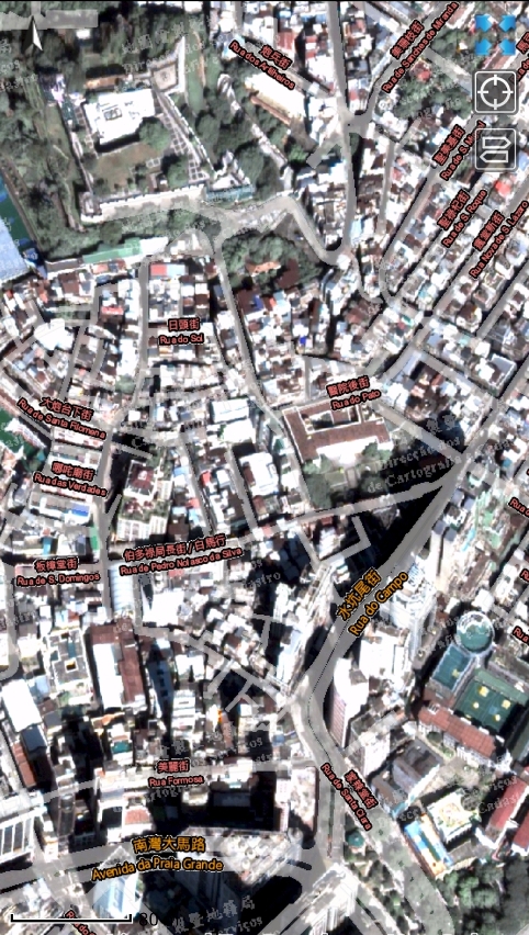
 Satellite image can be layered with streets data for browsing
The Cartography and Cadastre Bureau launches the latest version 2.6 of "Macau GeoGuide" App to tie in with the city development of Macao. In this version, on the basis of the original network of bus, walking and driving route, the light rapid transit (LRT) route is added to the route planning which further optimizing the function of travel routes planning. And satellite image is also added to enrich the user experience of map browsing.
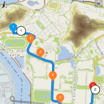
The route planning function in the new version of "Macau GeoGuide" provides five travel route schemes, i.e., shortest walking, leisure, bus, LRT and driving, which take various users’ traveling needs into account. The newly added LRT route scheme not only assists user to find the appropriate LRT stations near the starting and ending point, but also integrates results of walking and bus interchange, provides information such as walking path, LRT or bus boarding station, passing-by station, get-off station, number of interchanges, number of stations travelled and fares, etc.
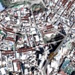
In order to better present the latest aspect of Macau, satellite image is added to "Macau GeoGuide" on the basis of the original aerial photos. The satellite image can be layered with streets data for browsing, and also allows users to experience aerial viewing of the true aspect of buildings and streets in Macau.
"Macau GeoGuide"App provides more than 60 types of serviceplacelocations, such as health care, food, housing, transportation, education and entertainment, providing users a full range of geographic information services and enhancing live quality with spatial information technology. Currently there are more than 410,000 downloads of the App. Citizens and tourists are welcome to download the App through App Store or Google Play with keyword “Macau GeoGuide” or scanning the QR Code below. For more information, please refer to Cartography and Cadastre Bureau website (https://www.dscc.gov.mo/geoguide/ios_android/default_eng.html).
